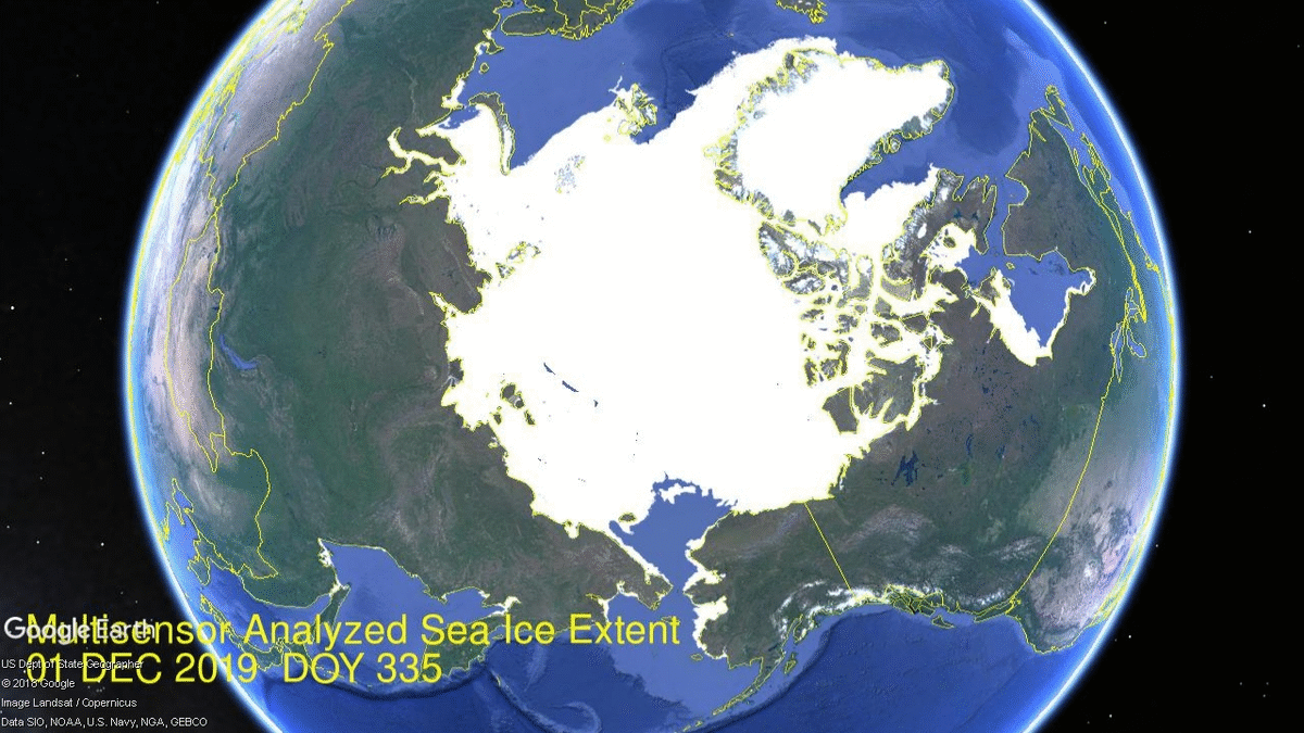
The image above shows recovery of Arctic sea ice extent over the month of December 2019. As supported by the table later, the pace of refreezing allowed 2019 to match and exceed for a few days the 12 year average (2007 to 2018 inclusive).
The month began with seas on the Eurasian side (left) already ice-covered, so no additional extent came from there. OTOH Hudson Bay (right) filled in completely, gaining from 445k km2 to 1255k km2, virtually to its max. Most of the action now is on the Pacific side (bottom) where Chukchi iced over, and Bering (center) and Okhotsk (left) have started to freeze in ernest.
The graph below shows the ice extent growing during December compared to some other years and the 12 year average (2007 to 2018 inclusive).

Note that the NH ice extent 12 year average increases almost 2M km2 during December, up to 13.1M km2. MASIE 2019 shows a faster icing rate, starting 600k km2 lower than average before reaching and surpassing the average, ending December in a virtual tie with average. Both 2018 and 2017 were lower at this point, while MASIE and SII are tracking closely together.

| Region | 2019365 | Day 365 Average | 2019-Ave. | 2017365 | 2019-2007 |
| (0) Northern_Hemisphere | 12980000 | 13070435 | -90436 | 12628187 | 351813 |
| (1) Beaufort_Sea | 1070655 | 1070266 | 389 | 1070445 | 210 |
| (2) Chukchi_Sea | 965972 | 964161 | 1811 | 943883 | 22090 |
| (3) East_Siberian_Sea | 1087137 | 1087134 | 3 | 1087120 | 18 |
| (4) Laptev_Sea | 897845 | 897842 | 3 | 897845 | 0 |
| (5) Kara_Sea | 929682 | 880747 | 48935 | 892689 | 36993 |
| (6) Barents_Sea | 479642 | 424886 | 54756 | 331819 | 147823 |
| (7) Greenland_Sea | 590098 | 568883 | 21215 | 555757 | 34341 |
| (8) Baffin_Bay_Gulf_of_St._Lawrence | 851131 | 1016132 | -165001 | 978074 | -126943 |
| (9) Canadian_Archipelago | 854282 | 853098 | 1185 | 853109 | 1174 |
| (10) Hudson_Bay | 1254576 | 1231781 | 22795 | 1260838 | -6262 |
| (11) Central_Arctic | 3228672 | 3206086 | 22586 | 3191526 | 37147 |
| (12) Bering_Sea | 362317 | 439846 | -77529 | 194350 | 167967 |
| (13) Baltic_Sea | 8738 | 32177 | -23439 | 13345 | -4607 |
| (14) Sea_of_Okhotsk | 390113 | 376320 | 13793 | 336595 | 53518 |
The table shows where the ice is distributed compared to average. Bering Sea and Baffin Bay have the only deficits to average, while other regions are at or above average; Kara and Barents Seas are in surplus.

Footnote: Interesting comments recently by Dr. Judah Cohen at his blog regarding the Arctic fluctuations. Excerpts with my bolds.
I have said many times the first thing that you learn as a seasonal forecaster is humility and these are one of those times. What is humbling me at the moment is that I have expected a weakening of the stratospheric polar vortex (PV) based on fall Arctic predictors – extensive Siberian snow cover, more limited Arctic sea ice extent and a relatively warm Arctic. Following the PV weakening or disruption, severe winter weather would be more frequent at least regionally across the mid-latitudes of the Northern Hemisphere (NH). But to be honest it is hard to see from today’s viewpoint how this verifies. And as I have shared on Twitter the new operational GFS, the FV3, has been especially bullish on a strong PV.
The biggest challenge that I see right now is the center of low mid-tropospheric heights currently just north of Alaska and is expected to expand in breadth over the next two weeks enough so to fill the entire Arctic basin. This a fairly class pattern of low heights in the Arctic and high heights in the mid-latitudes resulting in a cold Arctic/warm continents pattern, all consistent with a positive AO. It seems a bit ironic (at least to me) that with the record low sea ice in the Chukchi-Bering seas this fall, the incredibly warm year Alaska just experienced both in part due to persistent ridging in the region, this same region is predicted to now experience an extended period of low heights and below normal temperatures. As an aside, this is something that I had a hard time anticipating even just a few weeks ago.
So, for now I remain steadfast in the winter forecast that based on high fall snow cover/low Arctic sea ice that they will in tandem perturb the PV. Given the westerly quasi-biennial oscillation (QBO) I expect a scenario somewhere between winter 2016/17 and winter 2017/18. Both of those winters were westerly QBO winters and the most significant disruption of the stratospheric PV took place in February.
Illustration by Eleanor Lutz shows Earth’s seasonal climate changes. If played in full screen, the four corners present views from top, bottom and sides. It is a visual representation of scientific datasets measuring Arctic ice extents.

_Again_ the world refuses to end in Four Horsemen Malthusian disaster?!
LikeLike
Reblogged this on Climate Collections.
LikeLike